CYTZ - KLGA
As an experiment, I switched from the TBM to the Cessna 172. Main purpose was to take a slower approach to the Niagara Falls. If you are going to fly out of Toronto, you got to check the Niagara Falls out. It’s really close. Follow the VOR IAG from Toronto, going south into the United States.
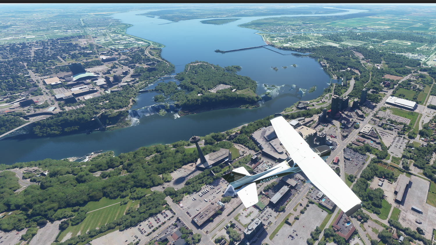
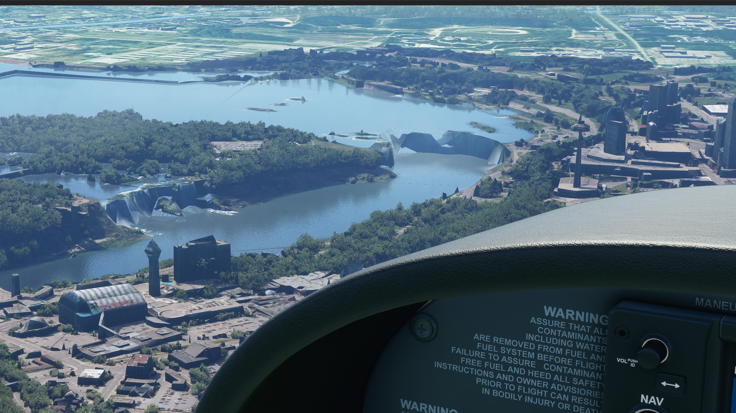
I had higher expectations for the Niagara Falls. I guess for a flightsim they look ok(ish). It won’t blow you away though. It’s there, but the animation of the falling water is mostly completely missing. The rest of the scenery looks gorgeous though.
Once you get into the airspace of the United States, the quality of the terrain details increases dramatically. I suppose that the satellite imagery is much better and has better resolution for continental USA (at least compared to Canada). Just check this out and you’ll see for yourselves:
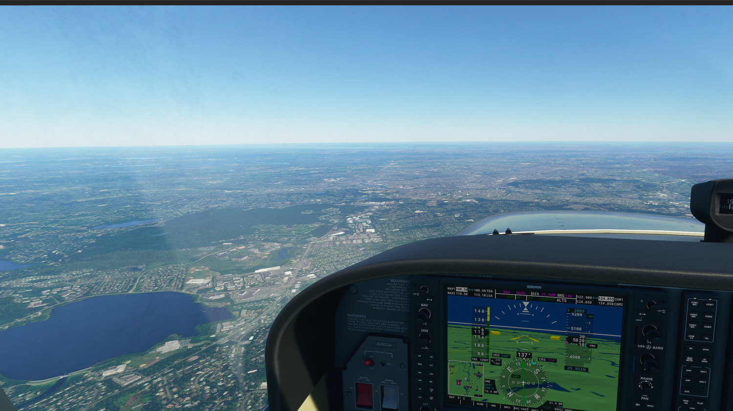
You can see football fields. Stadiums. Buildings with higher resolution textures. Highway junctions (and traffic on them).
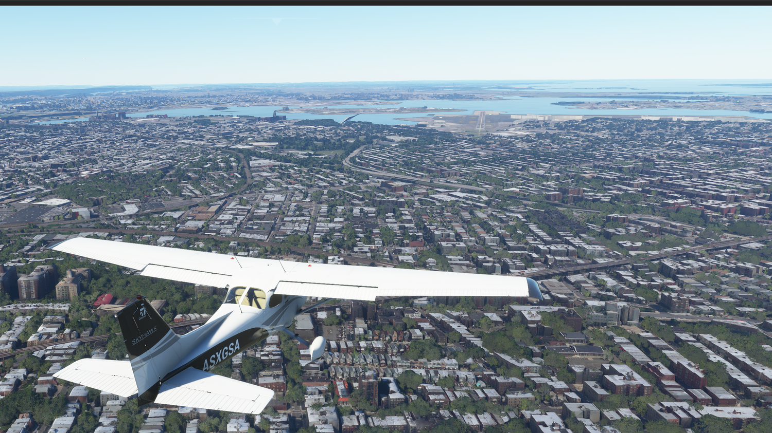
Getting into New York was an interesting experience. I am quite sure that Microsoft has manually optimized the way this city looks (by manually, I mean humans have worked on it and made it look better than the AI alone can). What I have noticed is that, although the placement and shape of buildings seems pretty realistic, the textures on the buildings are terrible. The whole city looks like it was abandoned and the buildings are in decay. It’s a city which fell down during the zombie apocalypse:
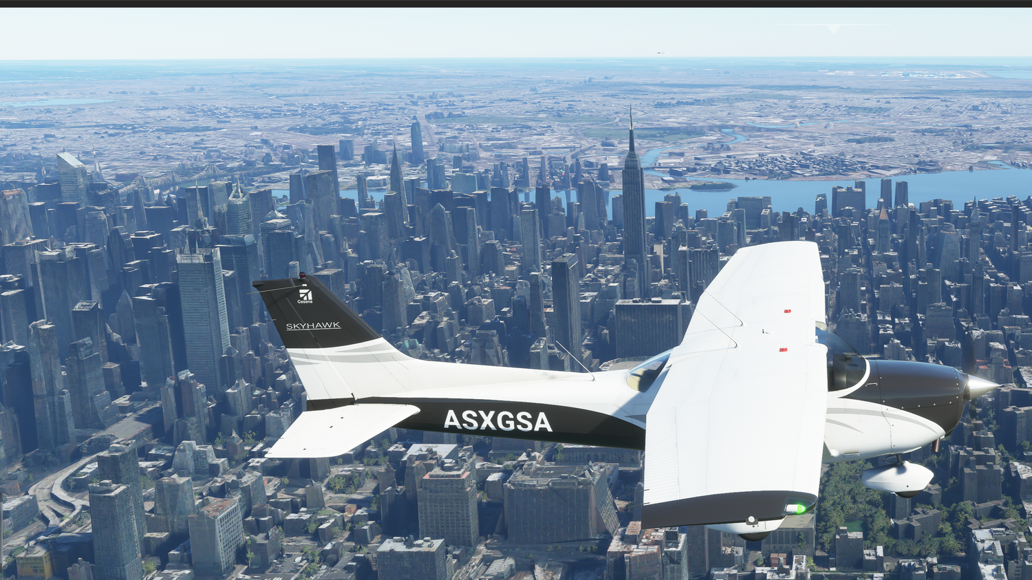
The closer you get to the buildings, the better their texture details. But inevitably, most of the buildings you’ll see will look derelict and abandoned. Just look at this bridge:
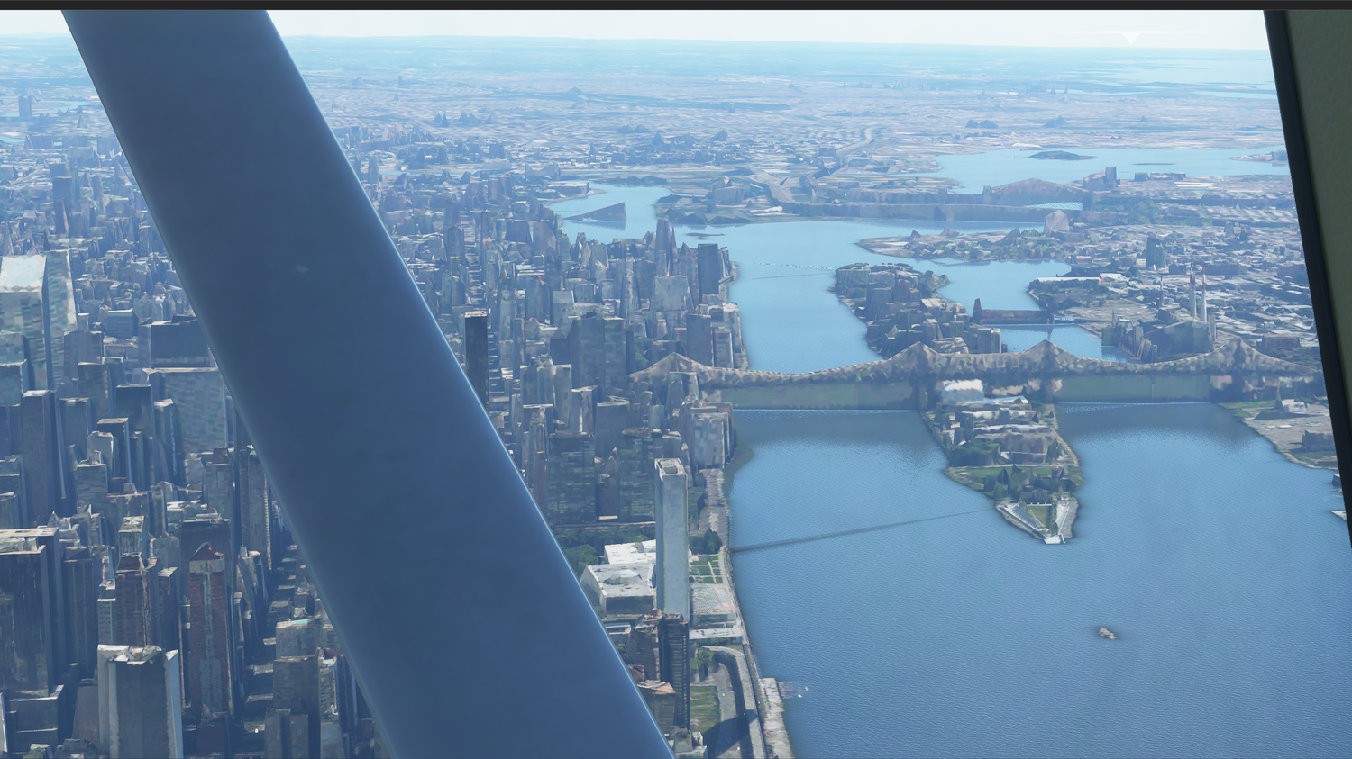
The approach in La Guardia was uneventful and beautiful. Again, you can see the level of detail in the city as I lined up with the runway and perform my final approach. I insist that this level of detail is only present within the United States, but I’ll be evaluating this more closely as I continue my journey into South America