SBEG - SBAT
Eduardo Gomes International Airport - Piloto Osvaldo Marques Dias Airport.
Our route takes us further south east, taking off from the Manaus airport and arriving at Alta Floresta.
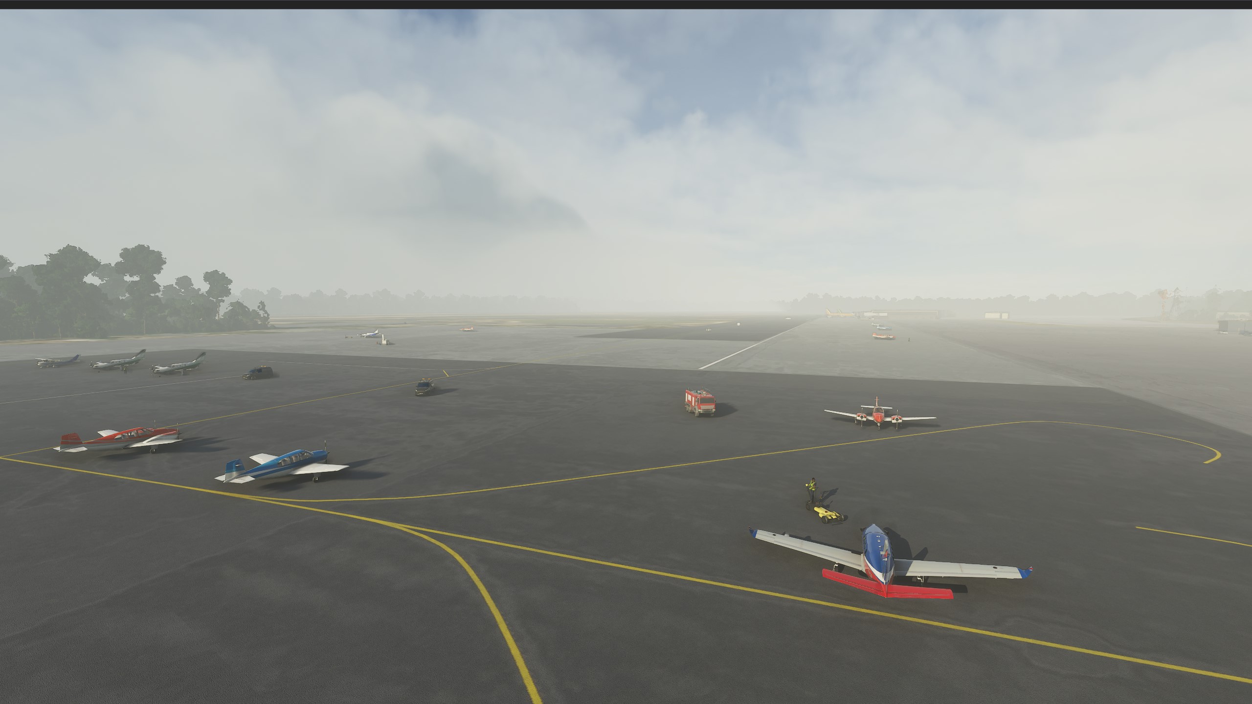
GA (General Aviation) parking spot at Manaus airport.
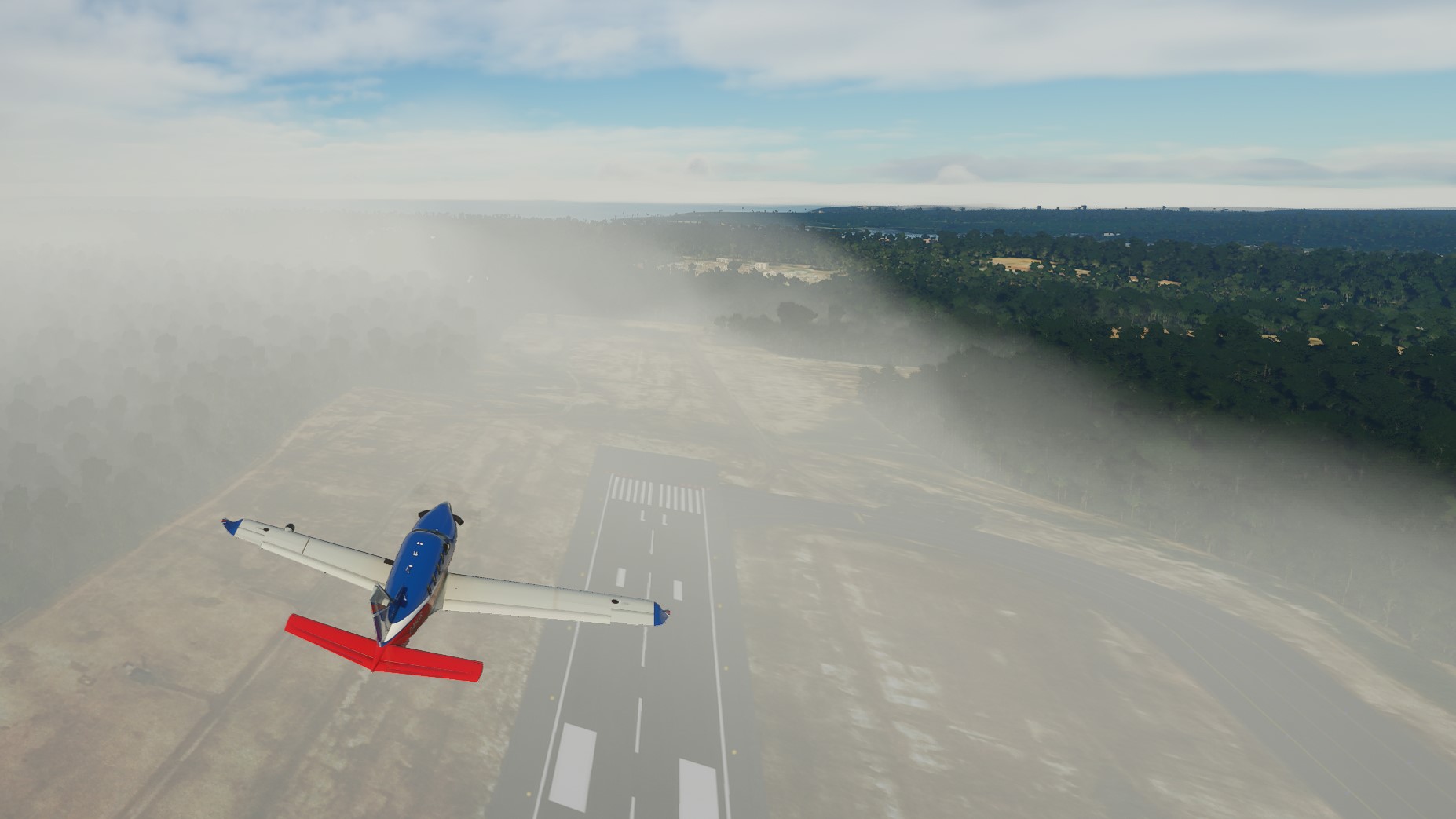
Although I tend to commend the sim a lot for its scenery, another incredible feature of the sim is the weather. Setting the weather to Live Weather makes the sim download weather data from the Internet and replicate those weather conditions in the sim. Although currently that service is having some issues (seems like the weather you get is not always the real weather at that location), the weather condition you do get are incredibly detailed. Just look at this bank of fog on the Manaus airport, right after takeoff:
One of the cool thing about departing Manaus is the Amazonas river. One of the longest rivers in the world, it serves as a main artery for the Amazon forest. A complex water system, the river is known for its importance in keeping the rain forest and for its massive size and volume.
Taking off from Manaus gave us the opportunity to take some amazing views of the river:

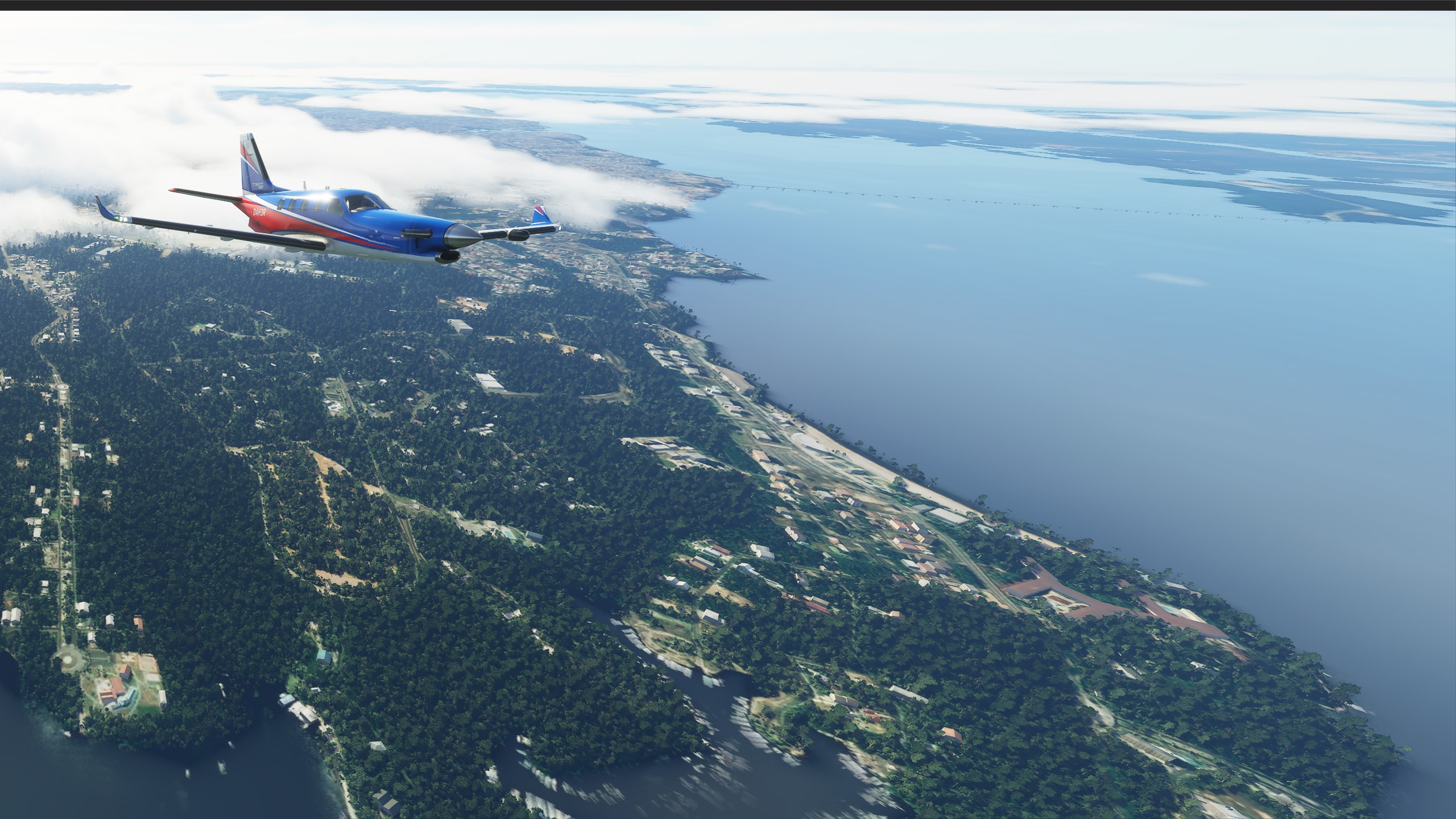
Nice, isn’t it?
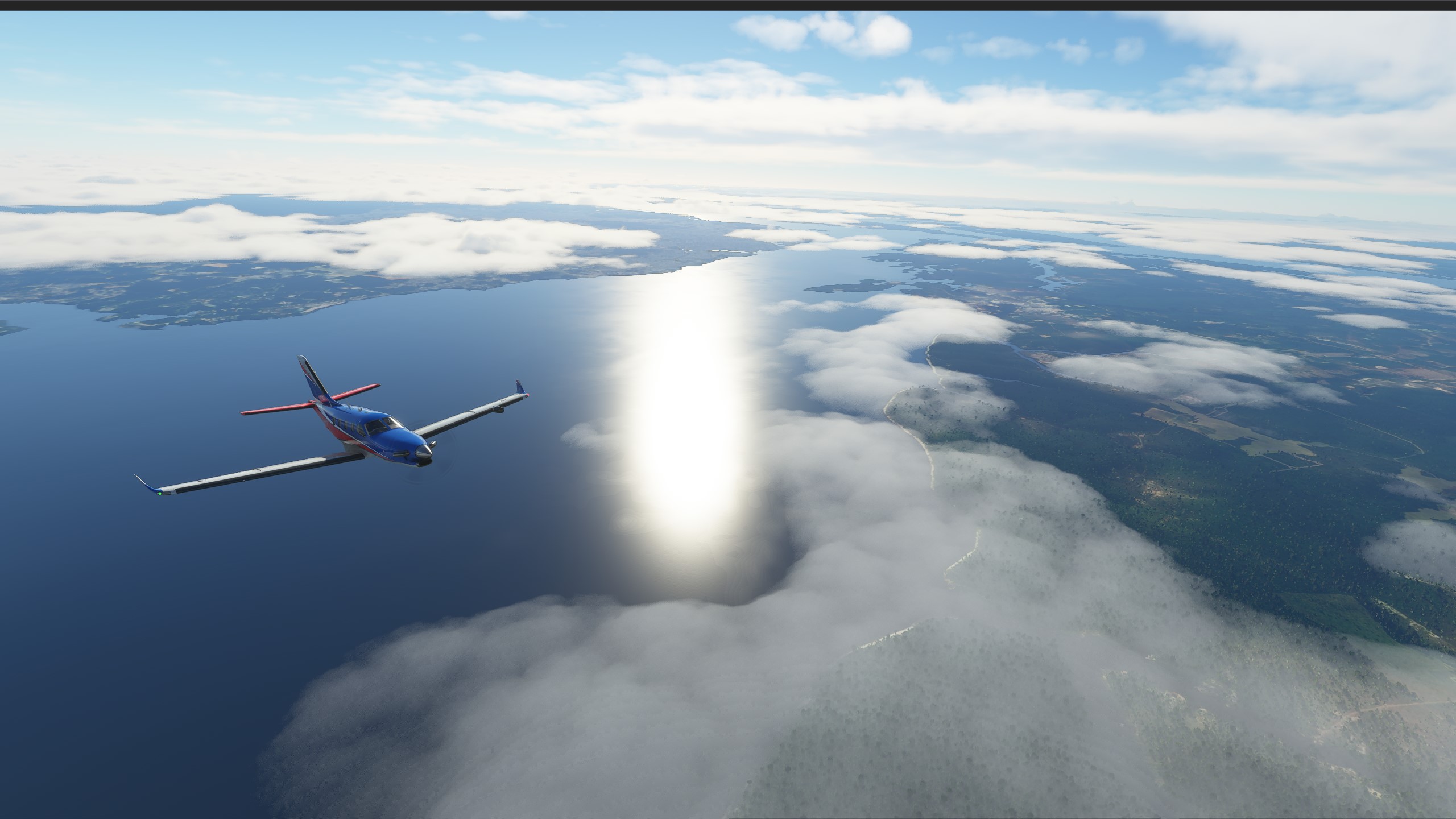
We set Alta Floresta as our destination. Why? No particular reasons, it just falls nicely in the range of the aircraft and the direction of travel we need to keep. It’s a town of only 50 thousand people.
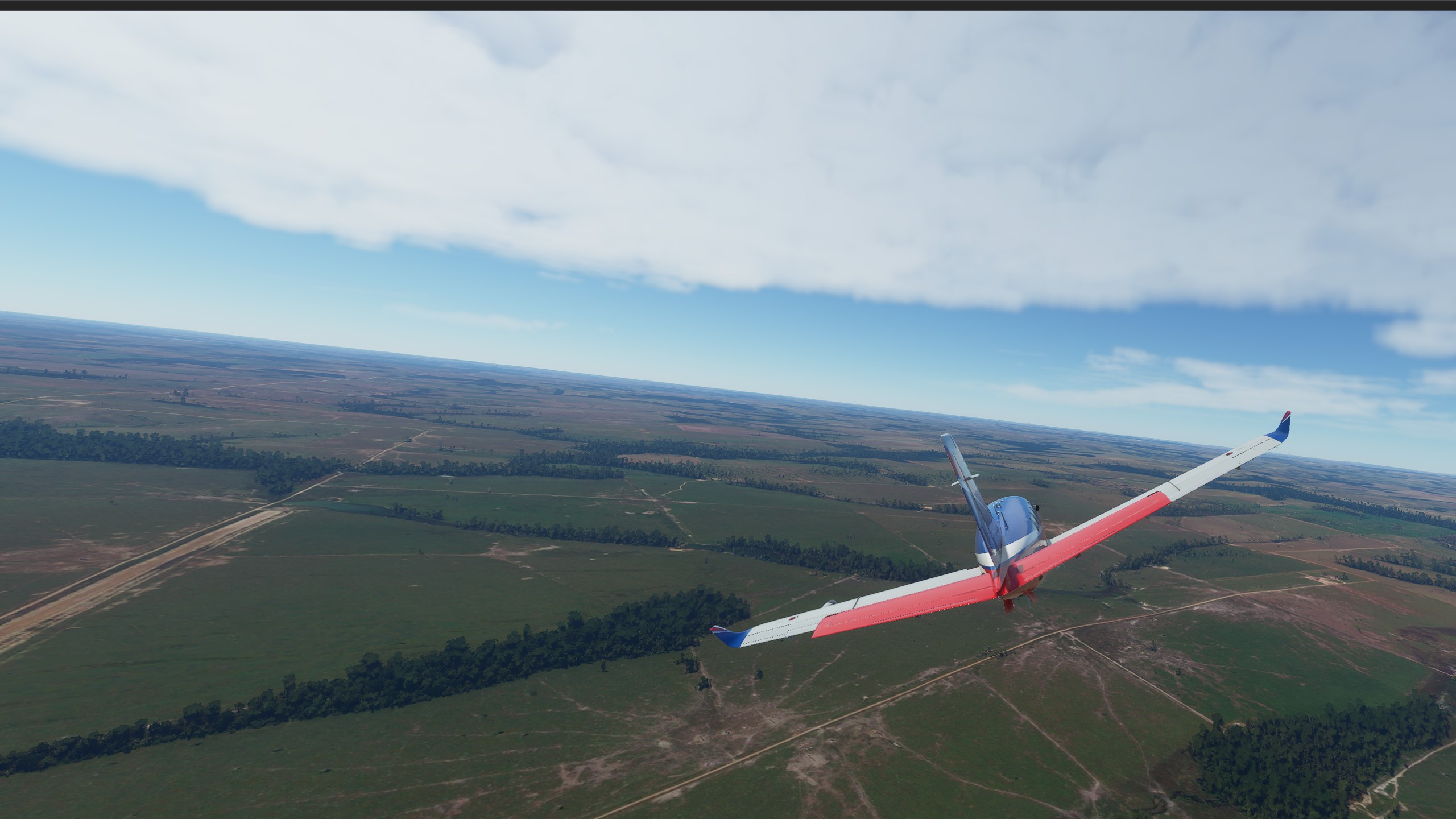
The approach to Alta Floresta airport, turning right to intercept localizer for runway 04.
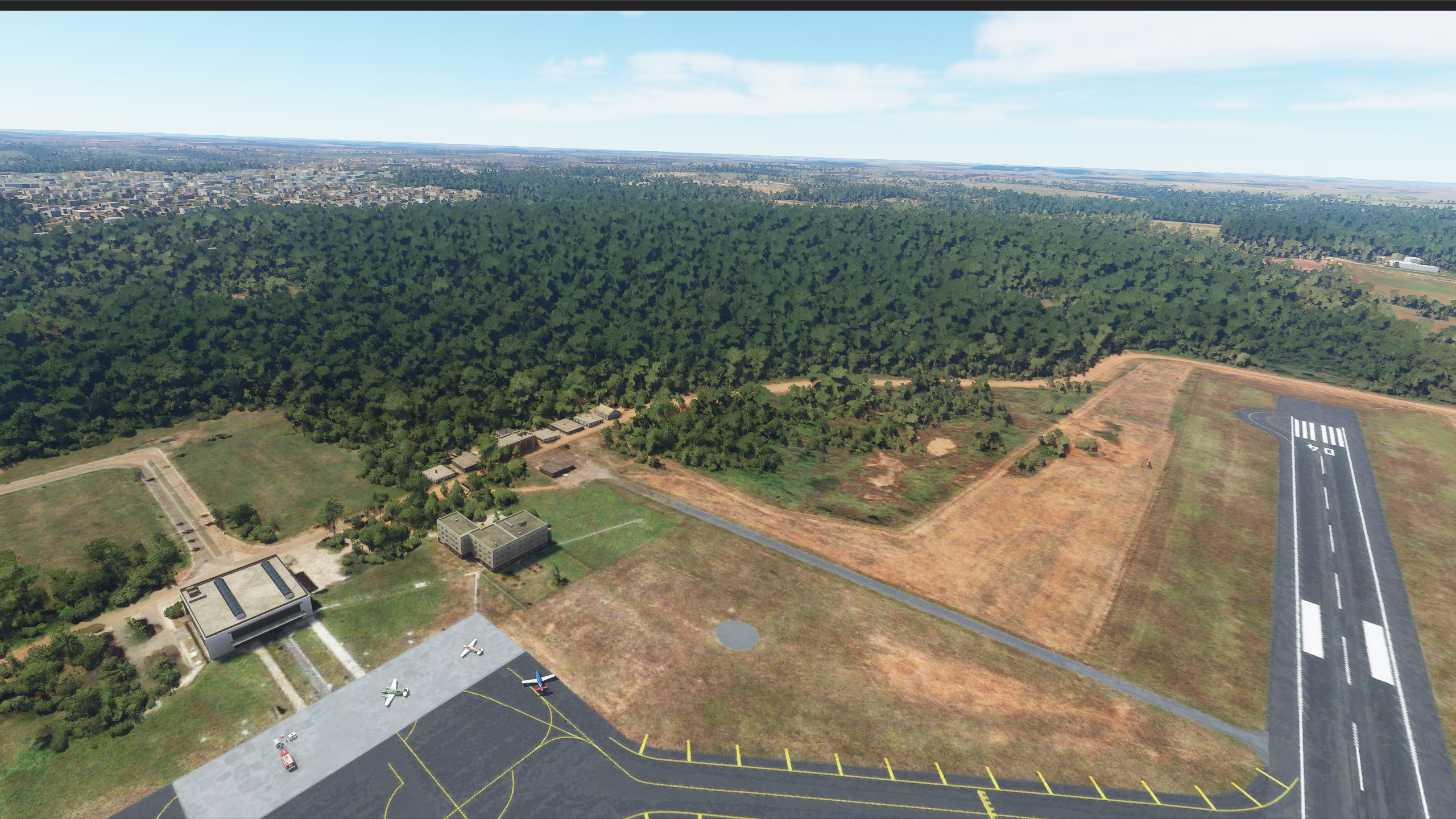
The airport is just at the outskirts of the Alta Floresta city.